Visit Korpo
Welcome to Korpo

Where your heart longs
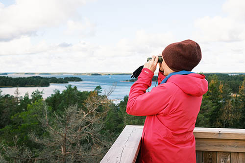
What makes Korpo so special? There are probably as many answers to that question as there are personal experiences of the island. Someone might answer the unique nature; -the beautiful cliffs, the islands, the sea, the forests, the marshes. Another might answer the people; - the village community, the creativity that flourishes on the island, the traditions, the association activities or the we-spirit. Or perhaps it is the experience of the four seasons: the peace and quiet of winter, the call of the seabirds in spring, the eventful summer full of people and activities and the crystal clear air and beautiful colours of autumn.
One thing is certain; Korpo is an unique place on earth. So unique that it is part of the Archipelago Sea's UNESCO Biosphere Reserve.
Welcome to Korpo!
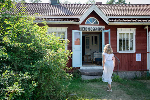
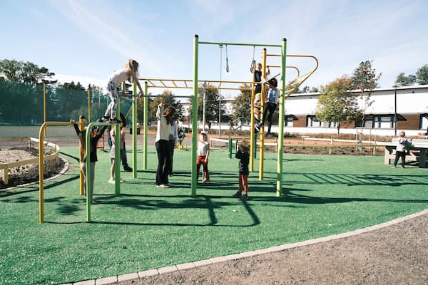
A small island, with everything you need
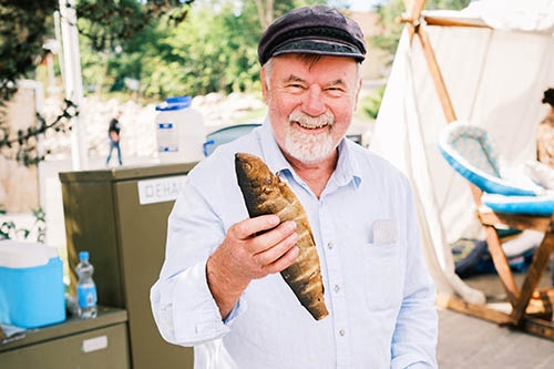
Korpo is a vibrant community all year round. The period after Midsummer until the start of school in August is the busiest in Korpo, when the population increases tenfold. But life goes on during the rest of the year too. Korpo has several active associations, many energetic entrepreneurs, and events and activities are organised all year round.


Advertising

Advertising

Advertising

Advertising

Advertising
Popular routes in the archipelago
Due to its size and geographical location, Korpo is a central island for many archipelago routes. Ferries depart from Galtby harbour to the Åland archipelago, as well as to Houtskär and Norrskata. The very popular "Archipelago trail" and "Small archipelago trail" and the newly opened "St Olav Waterway" pilgrimage route also goes through here. Please note that the entire Archipelago trail is only open during the season! Out of season you can visit parts of the ring road.
The Archipelago trail
Welcome to experience the magnificent archipelago of Turku and the five main islands of the archipelago town of Pargas! Each island is special and has its own charm. The route winds its way through ancient archipelago communities that offer visitors a variety of services in summer.
The Archipelago trail celebrated 25 years in 2021! Hundreds of thousands have experienced the route since its initiation in 1996, by motor vehicle, bicycle or on foot. Next summer, the 250 km long route will be open in its entirety from 12 May to 3 September 2023.
Travel by car or bus, cycle or walk - you choose
Length: 250km (of which 220km is road)
Ferries: 8-9
Recommended time: 2-5 days
The Small Archipelago trail
On the Small Archipelago trail you can drive around the archipelago all summer long from mid-May to early September. By car, the trip can take just a day, and by bike a couple of days. If you follow the fastest route, the journey totals about 120 km. The Little Ring Road is located in the area of five towns and 2/3 of the whole road is on islands. Along the route there are 15 year-round inhabited islands and a few uninhabited islets. The Small Archipelago trail is part of the more extensive Archipelago Trail route.
St Olav Waterway
Hike through the world's most beautiful archipelago from island to island. The journey takes you from Turku Cathedral in Finland to Åland - the Islands of Peace - and on to Sweden. In Sweden you have several alternative routes to choose from for the final destination in Trondheim, Norway.
The St. Olof Seaway from Turku to Grisslehamn is both an official Olof Seaway and a European cultural route.